I’ve just spent far too long playing with the ‘Where in the World?’ image quiz found on the Gateway to Astronaut Photography of Earth website. Far too long. It was a combination of being astounded by the detail of images taken of Earth from the International Space Station using a handheld Nikon (or a Rolleiflex, or a Hasselblad, or one of several different types of camera) and rather enjoying the process of deducing where the picture is showing. Addictive, I tell you.
Astronauts have been taking pictures of the Earth using cameras that you or I might use – admittedly with some rather serious glass attached to them, though – for over 40 years. Nearly one million images, just over half of which come from the International Space Station, are available for you to browse and use (with proper attribution, of course) on a dedicated website. Or you can just get sucked into playing an Earth identification game.

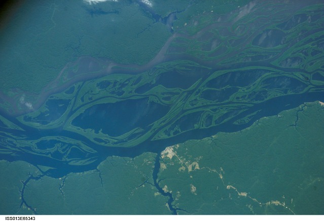
Rio Negro, Tauapecacu, Brazil, courtesy of courtesy of the Image Science & Analysis Laboratory, NASA Johnson Space Center (image ISS013-E-65343)
However, when I was able to drag myself away from ‘Where in the World?’, I found out about something else very cool happening on the International Space Station. It’s called EarthKAM, and the idea is to give middle school kids the opportunity to control what gets photographed from the International Space Station. So if they want some images to have a look at the extent of Amazon deforestation, or what pivot farming sites in Saudi Arabia resemble right now, they can request them. The camera, by the way, is a Nikon D2Xs.

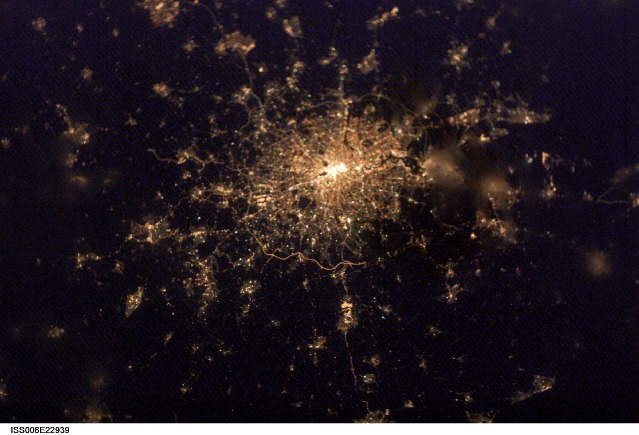
London at Night, courtesy of the Image Science & Analysis Laboratory, NASA Johnson Space Center (image ISS006-E-22939)
The next EarthKAM mission is running from 5 to 8 April this year.
Although EarthKAM is sponsored by NASA, participating schools can come from anywhere in the world, but they do have to be registered. In return for free registration, they have to provide feedback and work samples if they want to continue using the service for more than a year. That seems a fair trade-off to me, though.

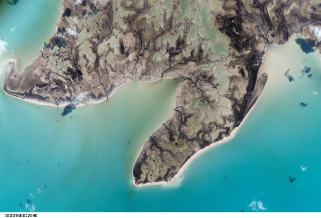
Wetlands, the Bahamas, courtesy of the Image Science & Analysis Laboratory, NASA Johnson Space Center (image ISS016-E-32090)
I’m completely smitten by the idea that a bunch of 12 year olds can request specific images of the earth to be taken on a Nikon dSLR from space. Some classes have used it as part of an investigation into climate change, some have created exercises where the image from space has to be matched to an image of the same place taken on earth, others have looked at coral reef destruction. The historian in me is sure that it could be used to look at the Silk Route, or something similar, too.
Yep, this one has just fulfilled my awesomeness quotient for the day!
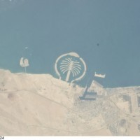
(Featured image: The Palm, Dubai, courtesy of courtesy of the Image Science & Analysis Laboratory, NASA Johnson Space Center, image ISS025-E-5324.)


